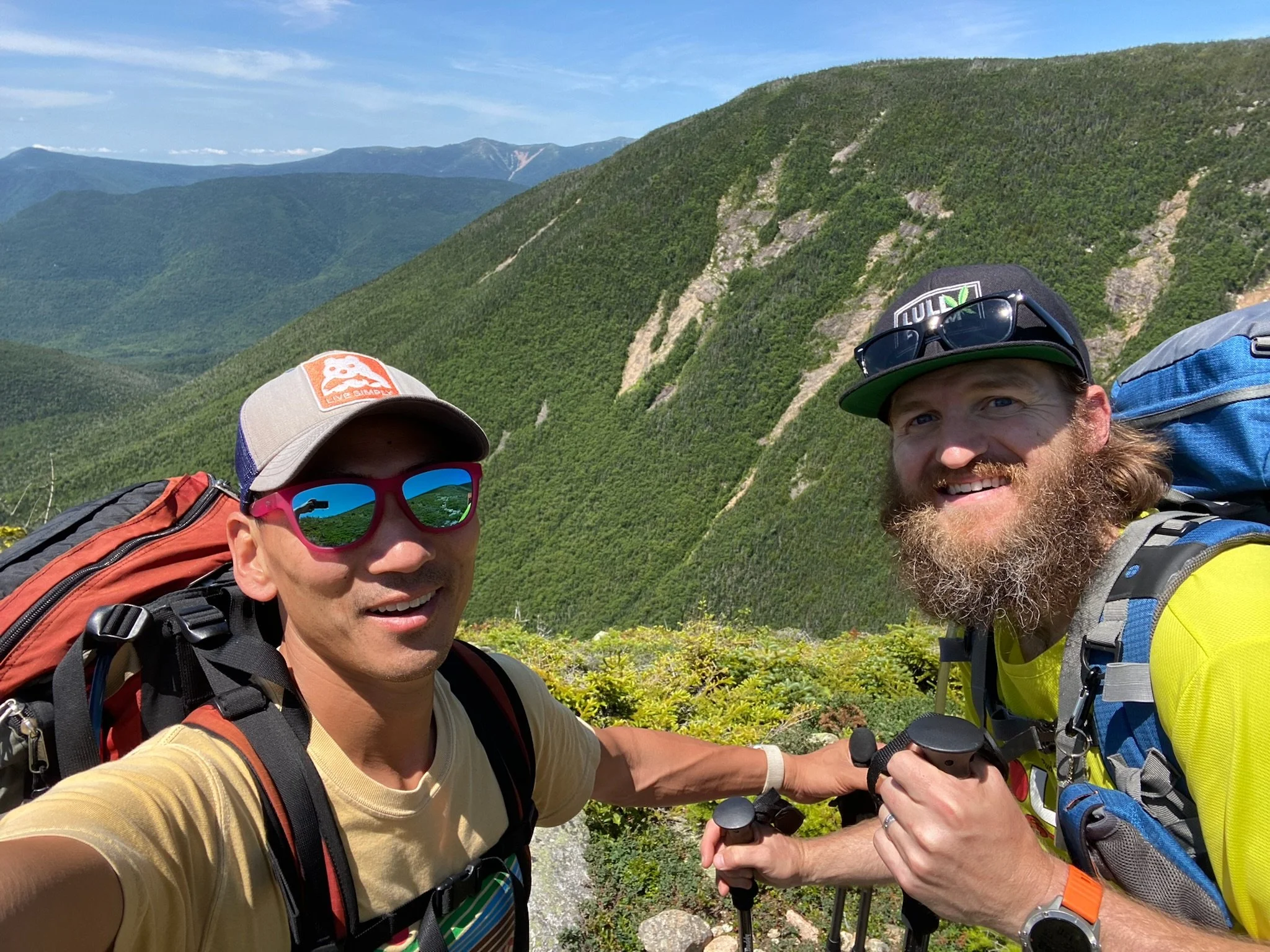
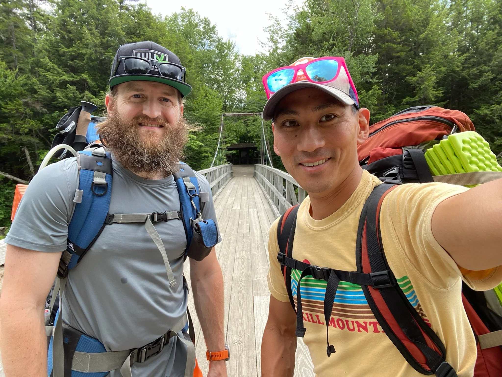
Pemi Loop (Flume, Liberty, *Lincoln, *Lafayette, Garfield, Galehead, South Twin, West Bond, Bond, Bondcliff
Ready for the weekend
Our backpacking trek to conquer the Pemi Loop began on July 8, 2022.
Day 1
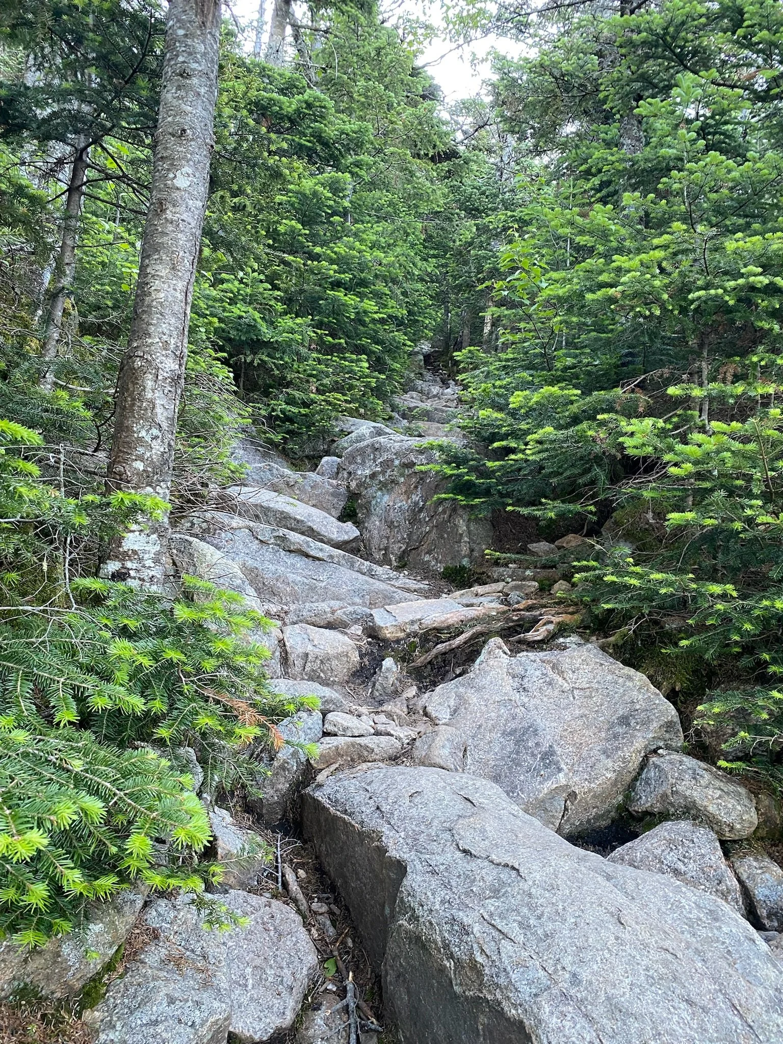
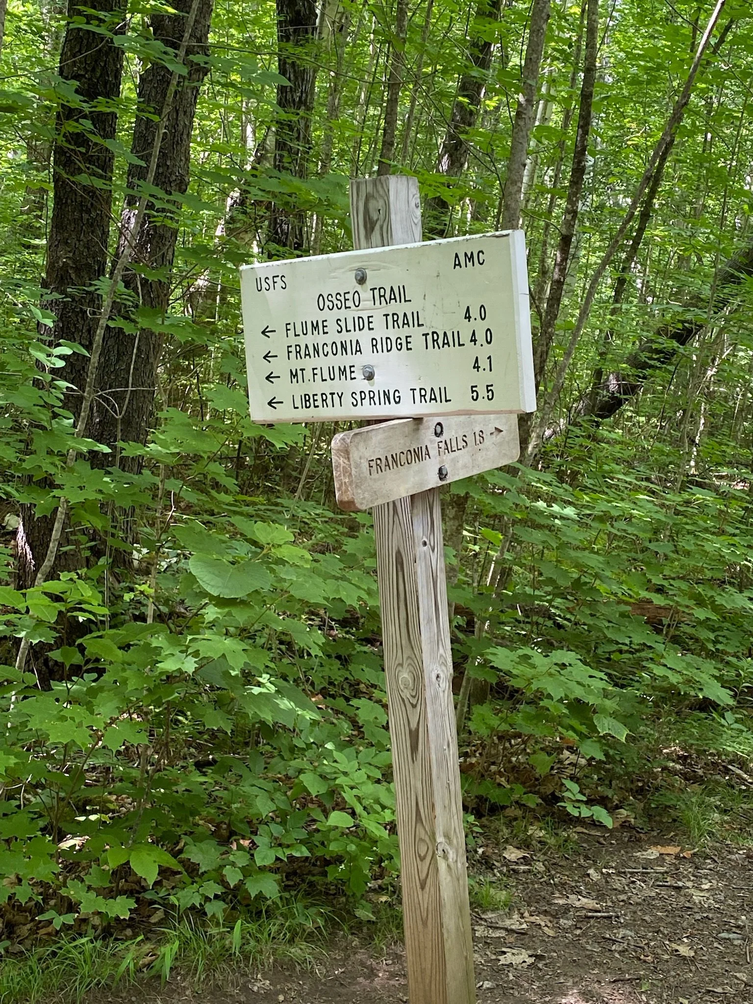
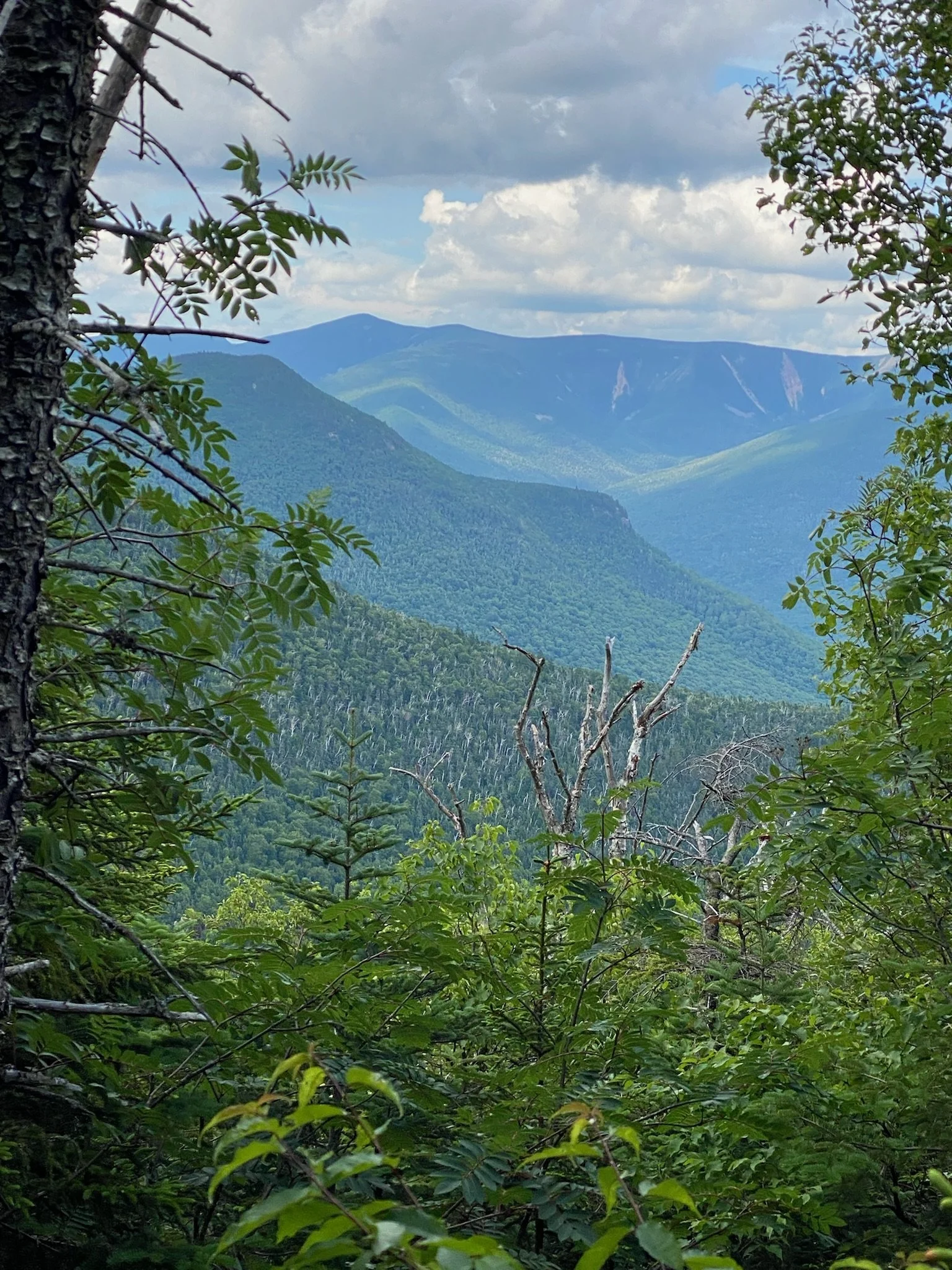
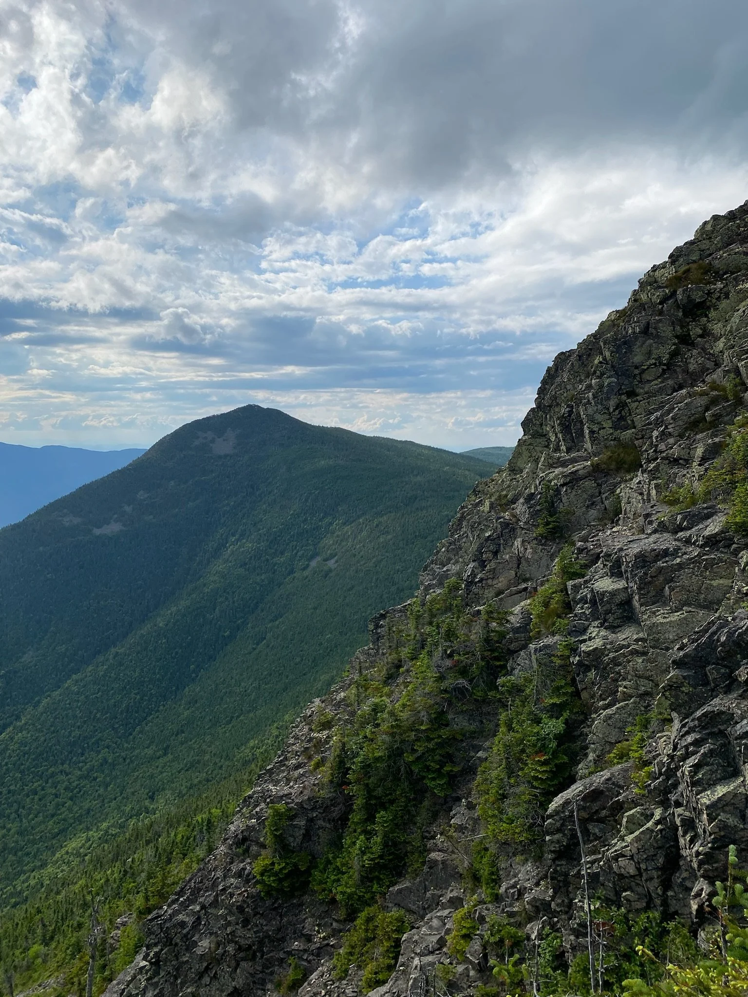
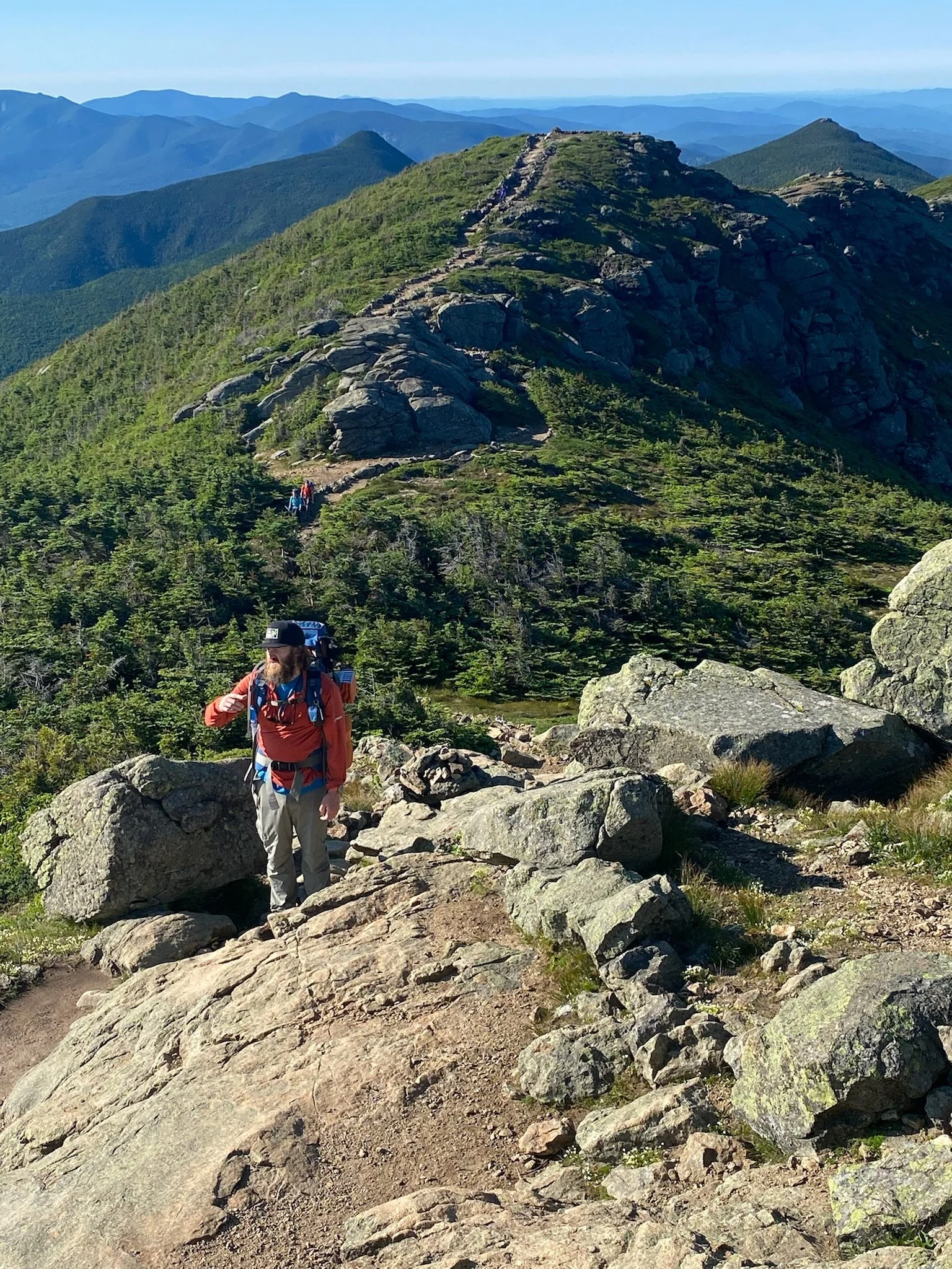
We got to the Lincoln Woods Trailhead to park for the weekend at 2:15 on Friday, July 8. Once we gathered our things and made sure we were all set, we hit the trail at 2:45. It was a beautiful day. We were so lucky to get such perfect weather. My pack was right around 35 pounds. It was a little more than I expected and wanted. There were tons of people on Lincoln Woods trail, but once we got to Osseo trail, we saw very few people. We saw a few trail runners, but that was it. Osseo trail took us all the way to Mt. Flume. We got to that first peak at 5:45, so it took us 3 hours to get up to that first peak. It has some solid views, but we didn’t stick around long. We wanted to get to the Liberty Campground to spend the night, so we hit the trail quickly. From Mt. Flume we took the Franconia Ridge Trail all the way to Liberty. We got to Mt. Liberty at 6:30. The hike up to Flume was pretty steep, of course. The hike from Flume to Liberty really wasn’t that bad. Views here were great. We could see where we would be headed tomorrow. But, with it getting late, we didn’t hang around here long either. We wanted to get to the campground and set up before dark, so we hit the trail. It wasn’t much further to the campground. We jumped on Franconia Ridge trail for a little bit, and then had to hike down Liberty Springs trail a little bit to get to the campground. This is just a little bit out of the way because we would have to hike back up tomorrow to get back to Franconia Ridge Trail. But it wasn’t that far down, and it was worth it to stay at the campground.
There were a lot of people at the campground, but there was plenty of space. Since we both had hammocks, we didn’t need a platform, so the caretaker just had us find some trees next to one of the platforms. It was $15 per person for the night. There was a separate cooking and eating area across the trail so that all food was kept away from the sleeping area. There were 3 large bear boxes for everyone to put their food in overnight. The caretaker had a pretty sweet setup. A nice large canvas tent on a big platform. She had her own cooking area with a big grill/griddle off to the side. We talked with her for a bit and found that she works 11 days straight up there and then has 3 days off. Tim and I both had basic dinners - just some trail mix, bars, dried fruit, candy - not a great dinner, but we were tired and just wanted to get some easy calories in and get to sleep. I stopped jotting down notes at 9:30 and decided to get some shut eye. It was a nice hike this afternoon to grab peak 11 and 12, but it’s going to be a long day tomorrow.


Day 2
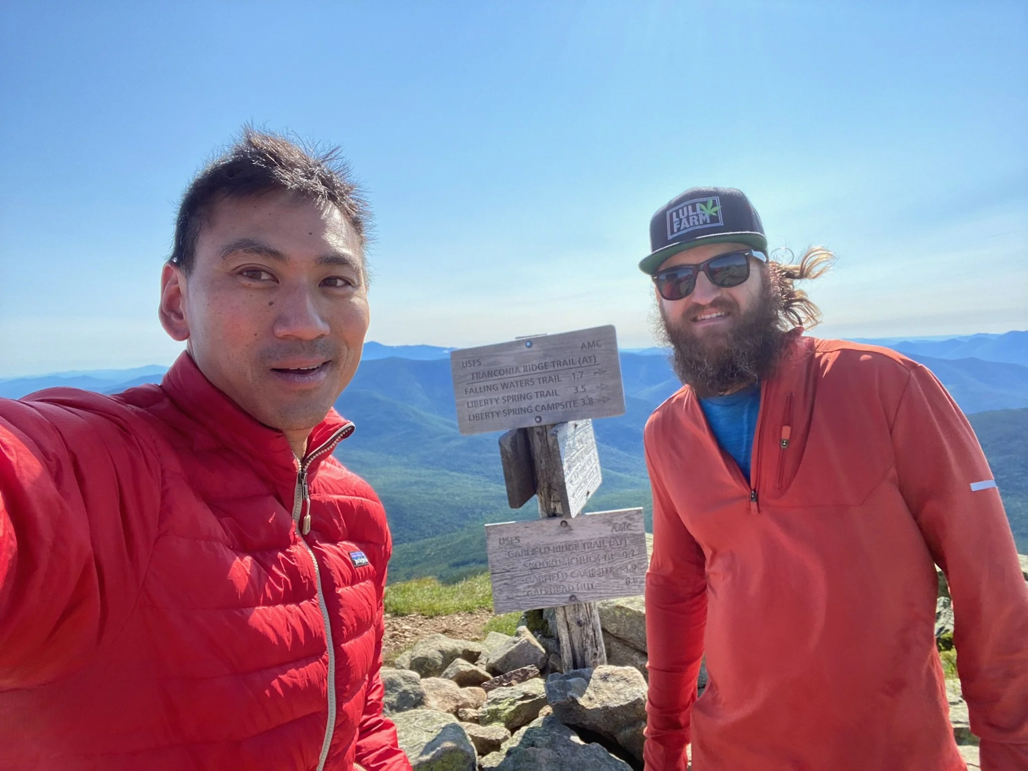
On Saturday, we woke up around 5:30AM. Pretty hard to sleep in when you’re in a hammock in the middle of a campground in the White Mountains. People were already headed out as we were getting up. Once we took down camp, grabbed our food, re-filled our water and had a quick bite to eat, we hit the trail around 6:45. We had to head back up Liberty Spring Trail a bit to get back to Franconia Ridge trail. This trail would take us to Little Haystack (which is not an official 4,000 footer), Lincoln and Lafayette. I’ve done these all before with Amanda, but Tim hadn’t done them before so going over the ridge would be new to him. It was a nice day, but pretty windy. There were times when we were on the ridge that felt like we were going to be blown over. Once we got to Lafayette, it was all new to me again. This is when we jumped on to the Garfield ridge to make our way over to Mt. Garfield. When the ridge started it’s way back up to Garfield, it got pretty steep. It was definitely a tough climb, but we reached the peak of Garfield around 12:15. Perfect time to hang for 15 minutes and take down some food.
We left Garfield, and this is where day 2 went from good to bad. We made a huge mistake and went down the wrong trail for a long time before realizing it. When we left Garfield, we were still on the Garfield Ridge Trail. Not too far down, the trails split and the Mt. Garfield Trail split off to the side. I sort of stopped when we came to this split and was a little confused by the sign. Rather than spending an extra 2 minutes to look closer at it and make sure we were going where we wanted, we made a hasty decision to stay to the left, which took us down Mt. Garfield Trail. Big mistake. We questioned ourselves twice along the way because the trail was just a constant descent, and it was surprising to us that we would be going down so far. But I kept looking at the map on my watch (which is very small obvious, and I should have taken out the real map), and kept seeing Garfield Trail. I continued to say we were on the right trail thinking it said Garfield Ridge Trail. Finally, we stopped for a 3rd time really questioning ourselves. We had descended way too long. So I took out my phone to look at All Trails, and that’s when I realized what we had done. To say this was a downer is a bit of an understatement. I take pride in my map skills and my sense of direction, but both failed me today, and I felt terrible that I let us both down like that. Tim will tell you he takes a share of the blame, but it was me that kept looking at the map and assuring us both that we were on the right trail. We had gone down about 2.5 miles and about 2,000 feet in elevation. We stopped here to regroup, refuel and read the real maps to check our options. We only had one - head back up the same way we just came down to get back to the Garfield Ridge Trail. This realization was hurtful. We had planned on doing the extended Pemi loop, but because of this huge blunder, we would not be able to. We would have to call off North Twin and Zealand definitely. We’ll have to see about West Bond when we get there. It was pretty embarrassing as we made our way back up the trail seeing people we had seen when we were going down and they were going up. Many of them asked us if we were really headed up again. We were too depressed to get into conversations with them, so we just sort of said “yup” and kept moving. Heads down, very little conversation on the way up, legs burning. Adversity. We were upset in the moment, but looking back at it, I can say that it was good for us. We didn’t get hurt. It was not the end of the world. We made a mistake and we had to pay for it in a minor way. We will learn from it and be better in the long-term.
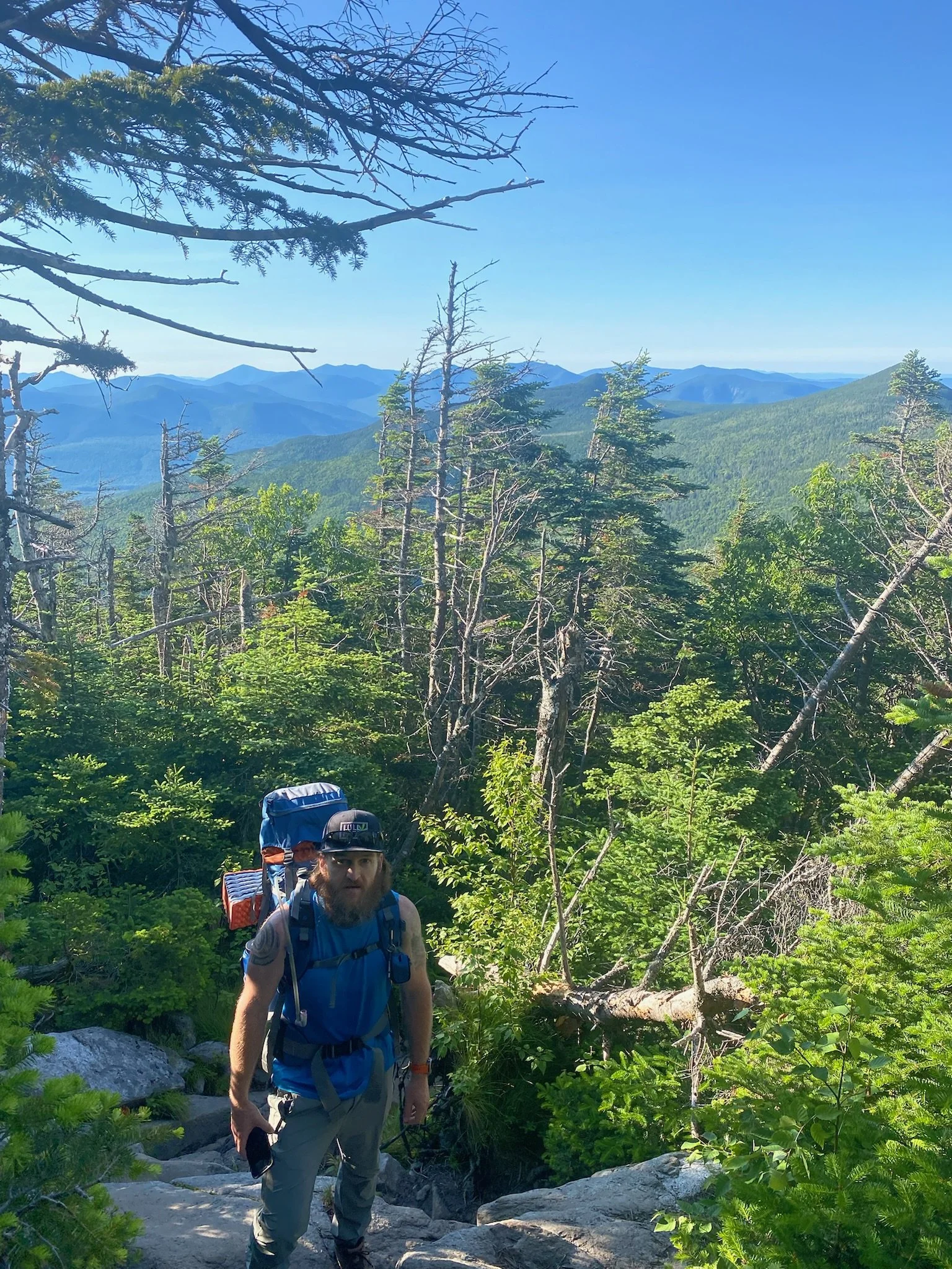
So, we got back up to where the trail split, we took a quick break and then head down Garfield Ridge Trail, which we triple checked on the map to make sure we were headed right way now. The trail would take us to the Galehead Hut, which we figured would be the furthest we would get tonight. We got to the hut around 6PM. We filled our water, used the bathroom in the hut, and then headed down the trail away from the hut to find a spot in the woods to set up the hammocks. It didn’t take long. We found a spot pretty quickly off trail, and set up. We brought our food back up to the shelter to eat there to keep the smell away from the hammocks. Had some peanut butter wraps and some trail mix. We packed up our food bags, head back into the woods and found a place to hang them up from a tree branch and then got ready to turn in. It was a disappointing day for sure. It was a long 17 miles that we just did. We think it’s going to be another 15 tomorrow, which is a long Sunday. But at least about 7 of that would be a flat walk back to the truck. We definitely won’t get the extended loop, but we’ll be back. At least we’ll still get the basic loop and we’re both safe and (major) injury free. Passing out early tonight - not even dark and I’m toast.


Day 3
It’s time to wrap this up. Out of all the hiking yesterday, I only got one new peak since I had already done Lincoln and Lafayette. So, I am starting the day off at 13. Waking up on Sunday felt great. We were rejuvenated from a good nights sleep and were ready to conquer the rest. It was a beautiful morning and a new start. First up today was to go grab Galehead. Since we slept right down the trail from the hut, we were close to this one. We left our gear where we slept and hiked up because it was just an up and down hike to this peak. It was nice to not have to carry the pack up this one. It didn’t take long at all for us to grab a quick peak this morning. It felt good to get a quick one after the rough day we had yesterday. It was a mental win. There wasn’t really much at this summit, so we booked it back down, grabbed our packs and went over to the hut to refill our water. We talked to a few people that were still at the hut having breakfast and getting ready for the day, and then it was time to roll. South Twin is next up.
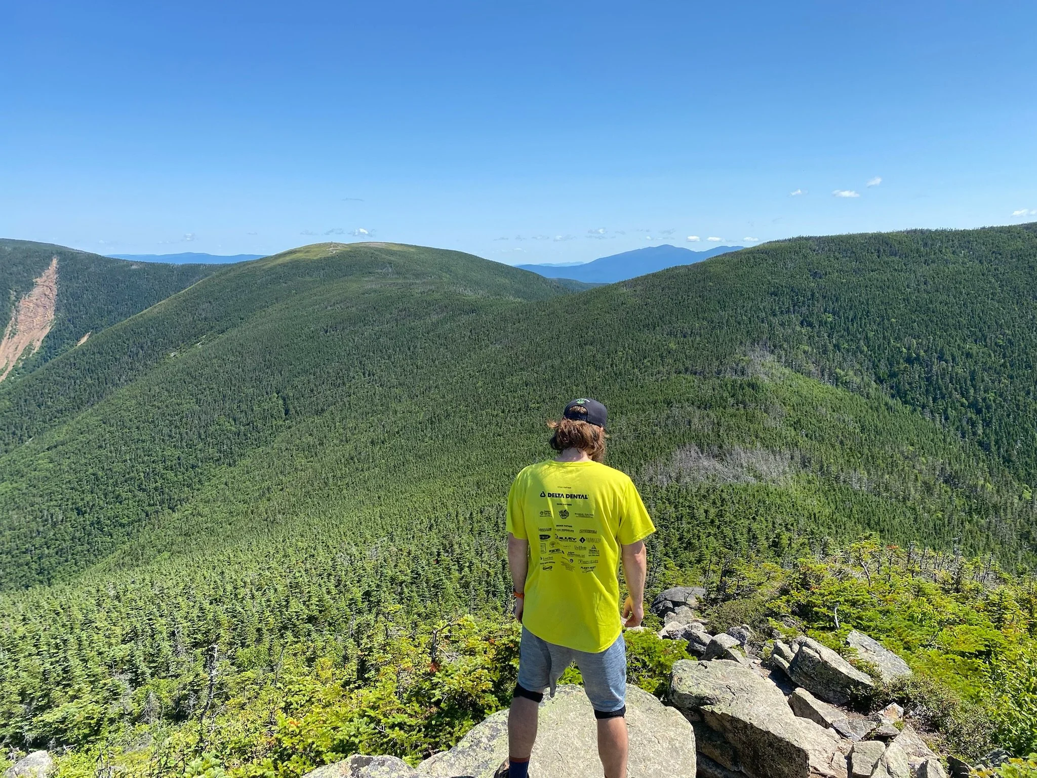
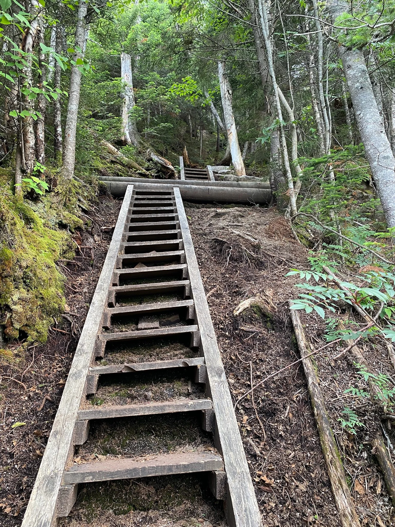
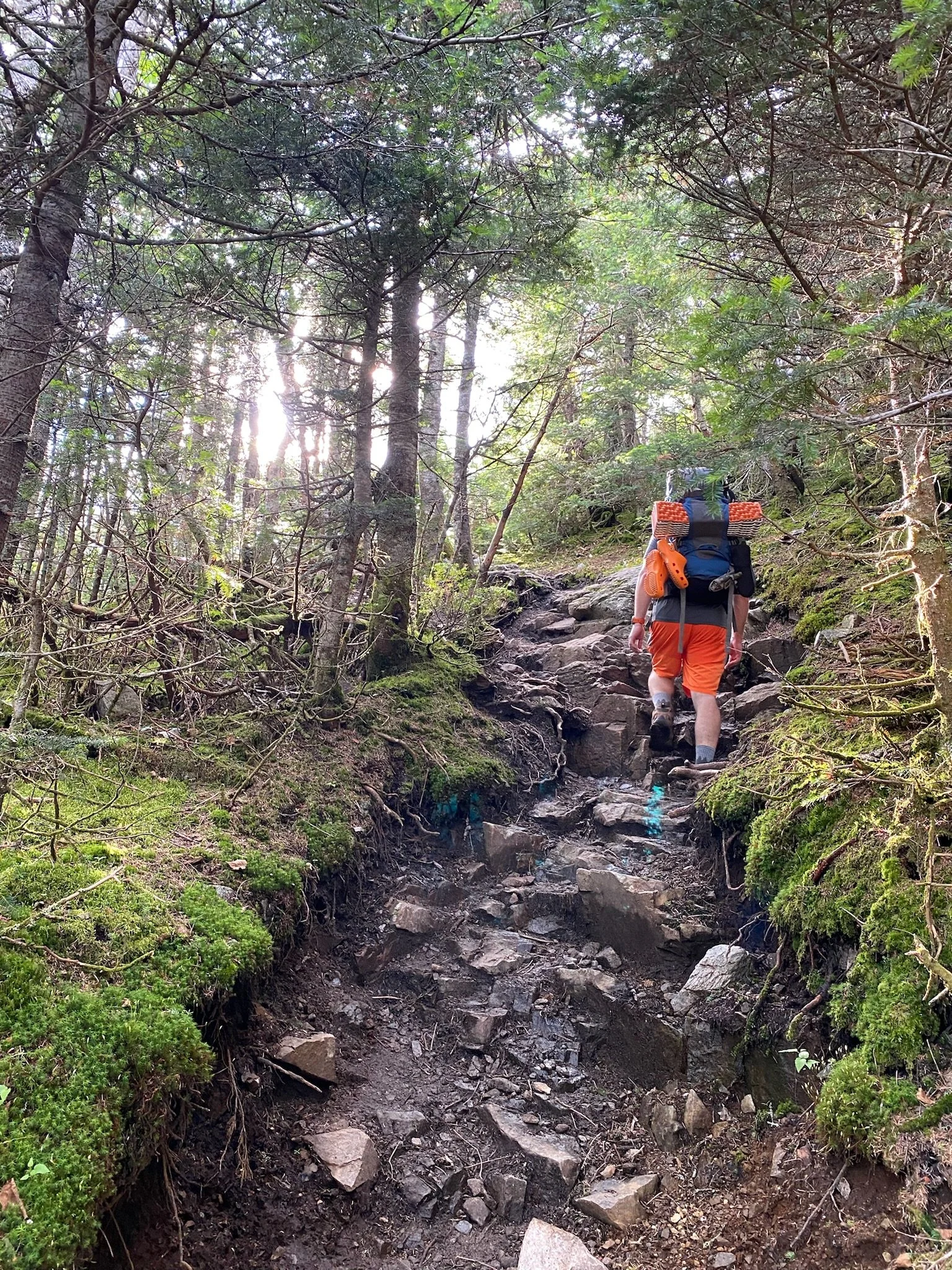
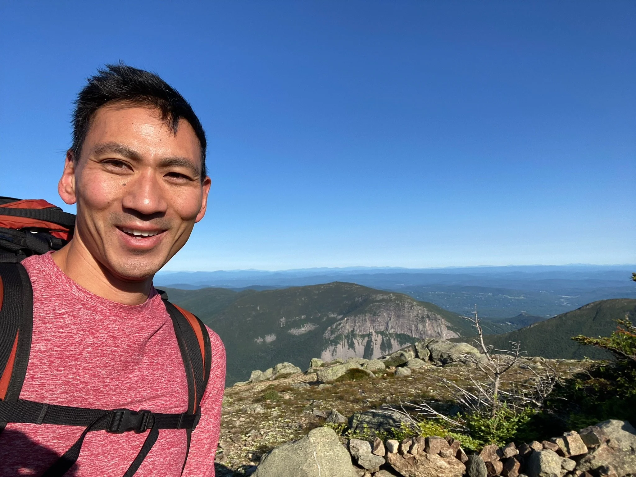
The hike up to South Twin on the Twinway trail was relentless. It was steep and had no breaks. It wasn’t terribly long compared to some of the other stretches we have done, but it was steep. But we did well and made it up fairly quickly. South Twin had some tremendous views. We hung out for a bit, took some pictures, ate some candy, talked to some guys who got there not too long after us, and then hit the trail. Because of timing, we were definitely not going to North Twin, so we continued on the Twinway towards Mt. Guyot (not an official 4,000 footer). Right round Mt. Guyot, the trail splits. We can either stay on the Twinway to go to Zealand or we can get on to the Bondcliff Trail to get to the Bonds. Again, because of our timing, we avoided Zealand and head towards the Bonds. When we got to the West Bond spur, we decided we could bang that out quick enough. It was another out and back, so we dropped our packs by the trailhead and booked it over to West Bond. We were treated to some spectacular views, which made our decision to get this peak worth it. We hung out for a bit here and talked to some people before we headed back. We were in such a better mood today. Weather was perfect, and we were moving well.
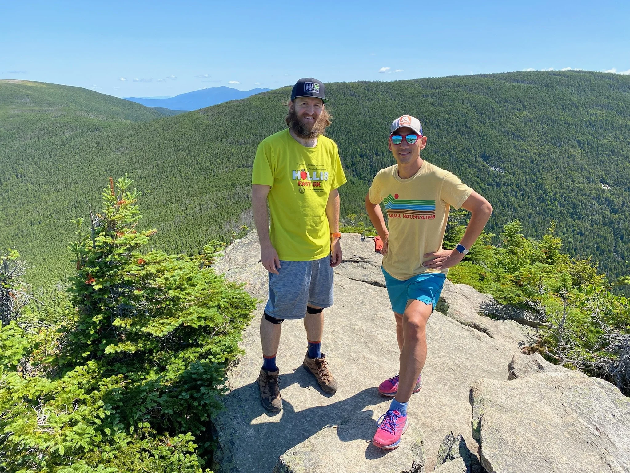
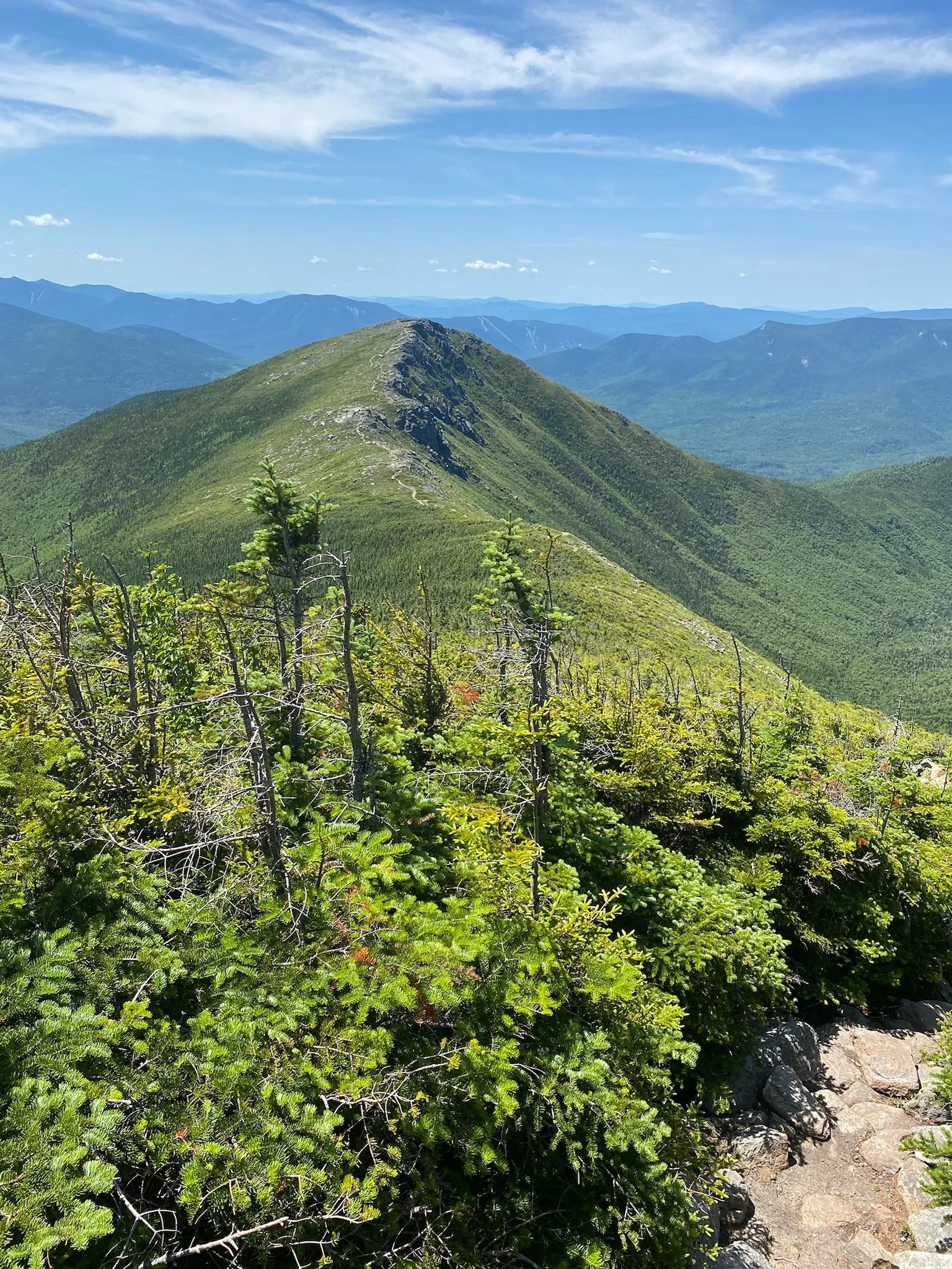
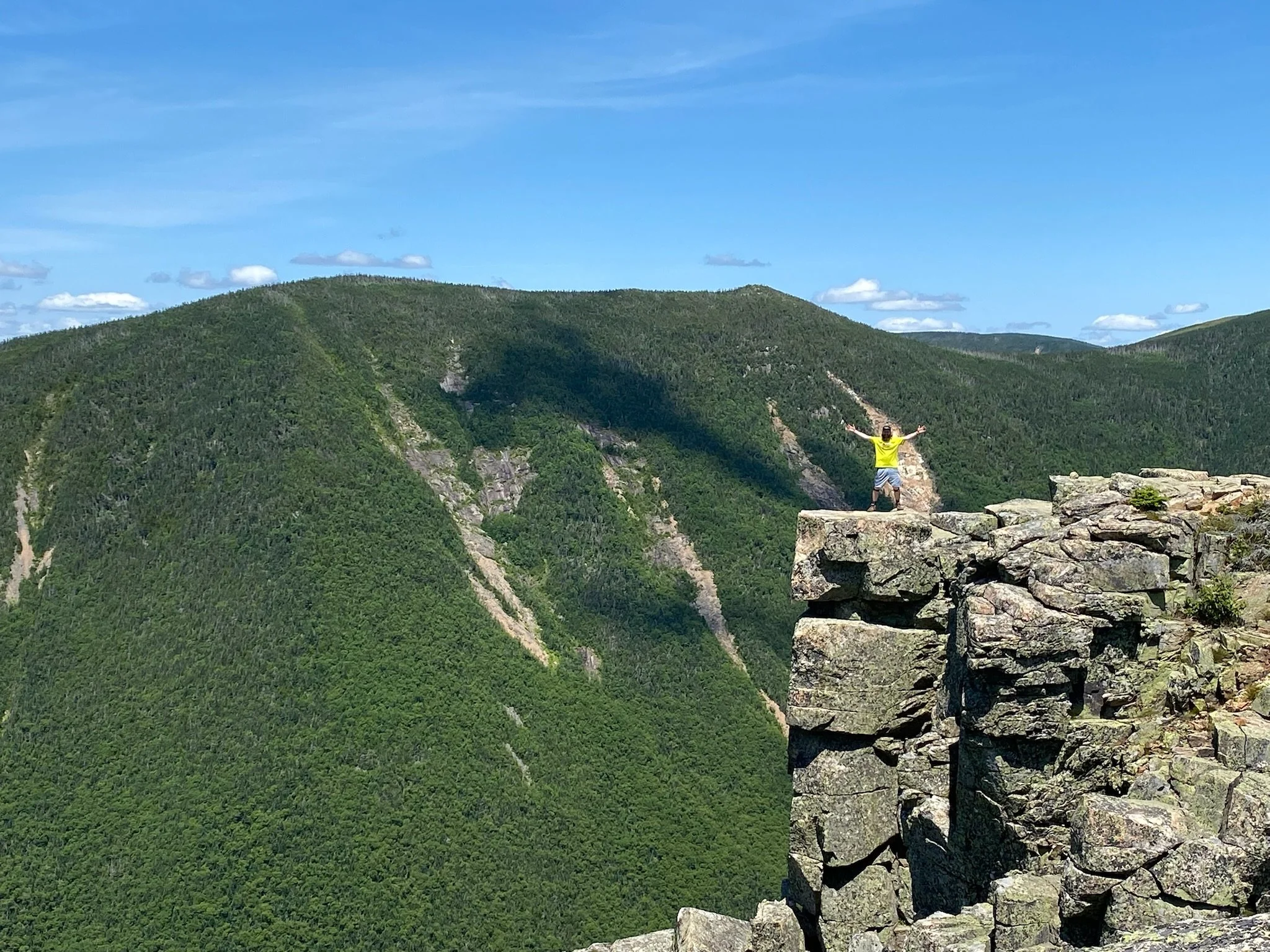
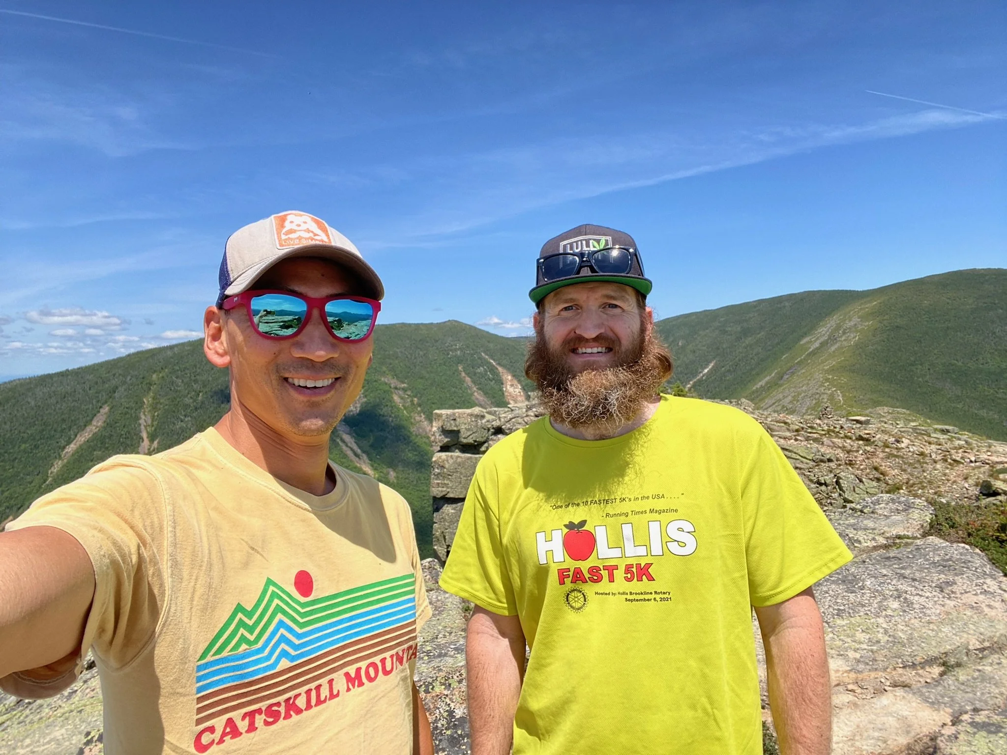
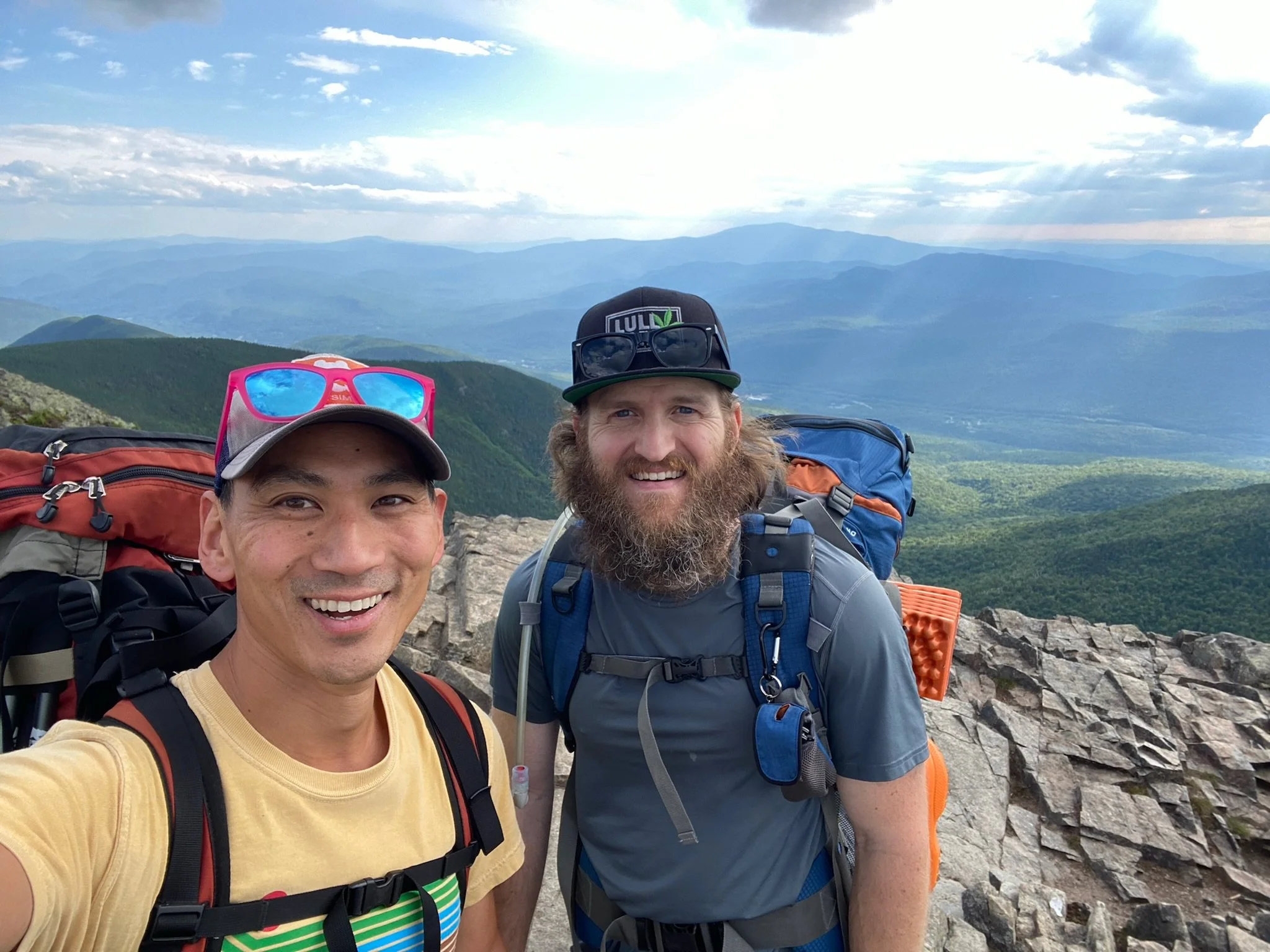
We grabbed our packs and got back on the Bondcliff trail to head over to Mt. Bond. It wasn’t that much further, and we were moving pretty well. We got to Bond pretty quickly. Mt. Bond had some nice views as well, but Tim and I both preferred the views from West Bond. Bond just seemed like an open area rather than a summit. We quickly moved on to get to Bondcliff. The Bondcliff trail from Bond to Bondcliff trail was just wide open above treeline walking along lots of rocks. It was during this stretch when my feet really started to bother me. All this walking while carrying 30+ pounds on my back was taking a toll. We slowed the pace down a bit getting to this last peak, but we kept slowly moving along. It felt like we could see the summit forever, but the trail just kept going and going. When we finally got there, we tossed our packs to the ground so we could relax a bit. It was the perfect spot to hang for a bit. Tons of space up there with 360 views of the vast wilderness. We both went out on the famous cliff to take a picture. It took a lot for me to get out there. I don’t love heights, so being out there terrified me, but I would have regretted not getting out there for the picture. Everyone kept saying it wasn’t as bad as it looks. While I can now admit that was true, it was still terrifying for me. We took down quite a bit of food here as we hung out for awhile.
All we had to do from here was get down off the mountains and back to the truck. Everything was hurting now - feet, shoulders, knees, thighs. It was all downhill from here, but it was going to be a tough 8-10 miles back. We met several people up on Bondcliff that were running the Bondcliff trail out and back from Lincoln Woods. We couldn’t understand at the time how people can run that.
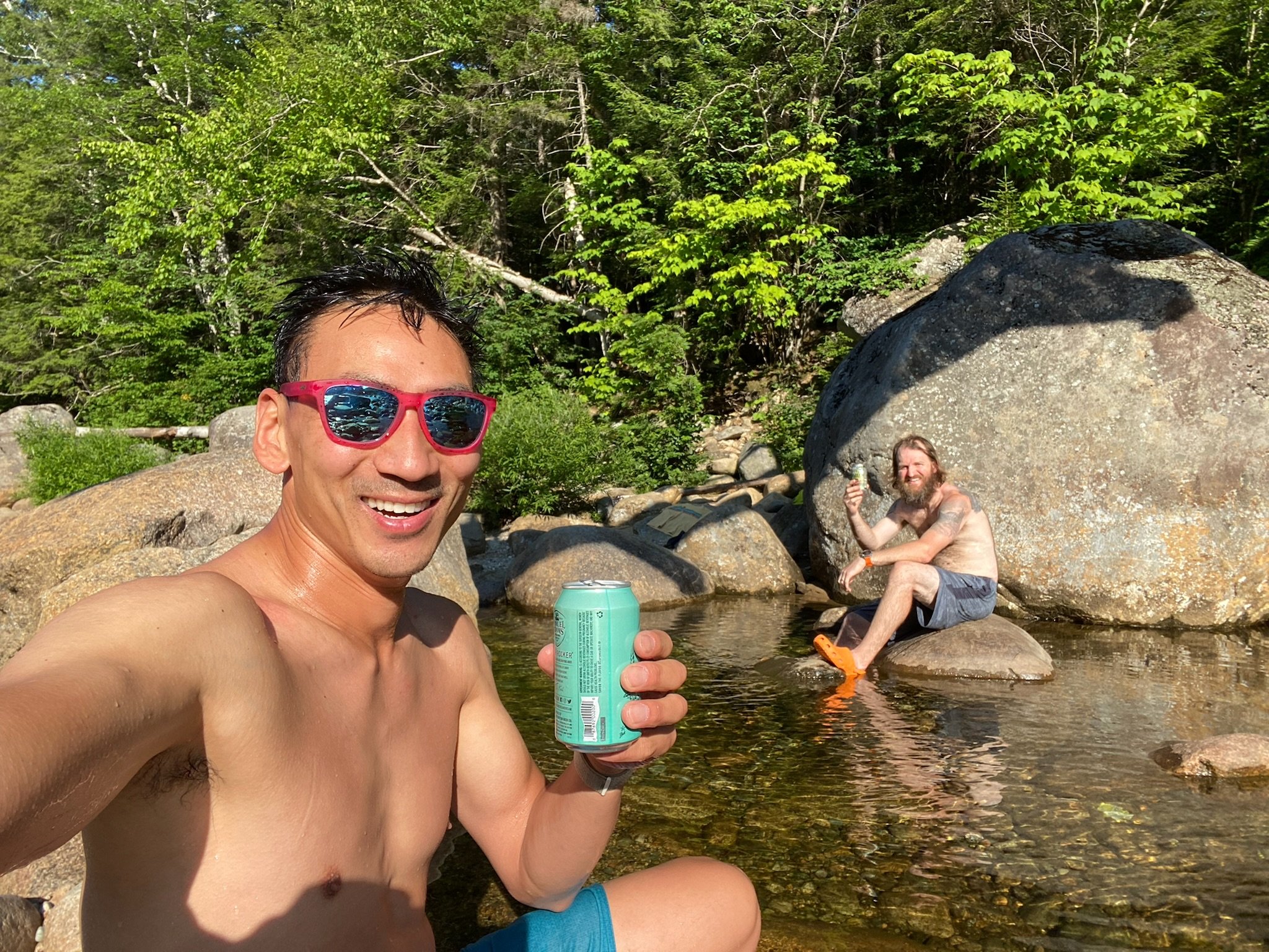
We hopped back on the Bondcliff trail and started getting after it. We had one goal on our minds - to get back to the truck. We knew we were going to hop into the river that we had to cross to get to the parking lot. We knew we were going to have some beers waiting for us at the truck. We knew we were going to get some food somewhere on the Kancamagus Highway. We just needed to get back there. It was brutal walking, but we toughed it out. I told Tim as we got close that I needed to get to the truck before jumping in the river. If I stopped at that point, I wasn’t sure I would be able to start again. I just had to keep moving. We got to the bridge and knew we had made it. It was so exciting to know we just completed the loop in full (plus a little detour along the way). We got back to the truck and dropped the packs, took the boots off and cracked open those well deserved cold ones. We headed back to the river with beers and hung out in the water for a bit. It felt so nice to just sit there in the perfect water. At least it felt perfect to us. And now it was time to go grab that food. We took down a pizza and a plate of buffalo boneless wings. Time to get home. We just banged out 10 peaks, 8 of which were new to me, so I’m at 18 now. Plugging along in my quest to get all 48 done.
A monster thank you to Tim for coming along on the ride. I don’t mind hiking by myself, but I’m not sure I would have done a full weekend by myself. We have done a lot together over the years. This may have been the coolest. It was definitely the most physically demanding. I love that dude. We’re going to have plenty more adventures together as we both look to better ourselves and push ourselves to new limits. 30 more to go.
